 By
By The National Centre for Seismology reports earthquakes in India.
It publishes the time, magnitude, depth and location.
It recorded the Chamoli earthquake at 22:23:13 IST on October 6.
The magnitude was 4.9 and the depth was 13 km.
Tremors were felt in Delhi-NCR.
The depth was 13 kilometres, and the epicentre was at 30.103 degrees north and 79.561 degrees east.
Tremors were felt across the National Capital Region, including Delhi, Noida and Ghaziabad.
Tremors were also reported from several districts of Uttarakhand, including Bageshwar, Pithoragarh, Champawat, Rudraprayag and Chamoli.
People in Bhowali, Haldwani, Khatima, Rishikesh, Gopeshwar and Badrinath reportedly felt the shaking.
The first reports did not mention any damage or injuries.
The relatively shallow depth of 13 km means that the shaking can be felt over a wide area.
Uttarakhand lies in the Himalayan belt, which is one of the most seismically active regions in the world.
Delhi lies in seismic zone IV on India’s earthquake hazard map, and it often feels tremors from earthquakes in the Himalaya.
Magnitude is a measure of the energy released at the source, and the shaking felt at a place depends on the distance and depth as well.
A magnitude 4.9 earthquake is classed as light to moderate, and damage from such a quake is usually limited.
The National Centre for Seismology reports earthquakes in India and publishes the time, magnitude, depth and location.
ANI, Business Today and other outlets carried the NCS details on the night of October 6.
Residents of earthquake-prone areas are advised to stay calm, move away from windows and unstable structures, and follow official instructions.
An earthquake of this size can be followed by smaller aftershocks, so people are advised to stay alert.
The reports available on the night of October 6 and on October 7 did not mention any official damage assessment.
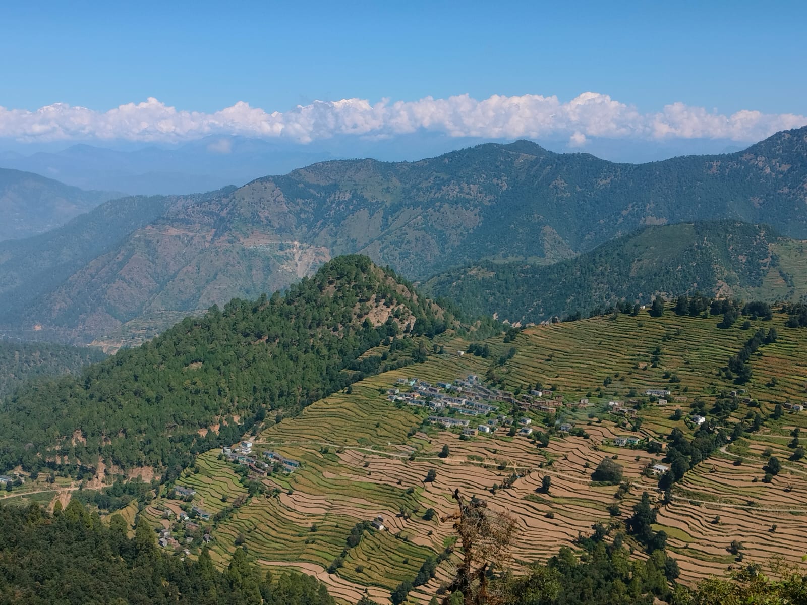
Garhwal Himalaya, Uttarakhand (representative image), Wikimedia Commons, CC BY-SA 4.0